
A Bit of Harpswell
If you look at the municipal map of Harpswell, you might get the impression that the town was shattered somewhere along the way as it is comprised of so many pieces! Even if that were the case, you would have to conclude that broken places are beautiful ones. Visit #5 on my statewide adventure through Maine brought me to this coastal region.
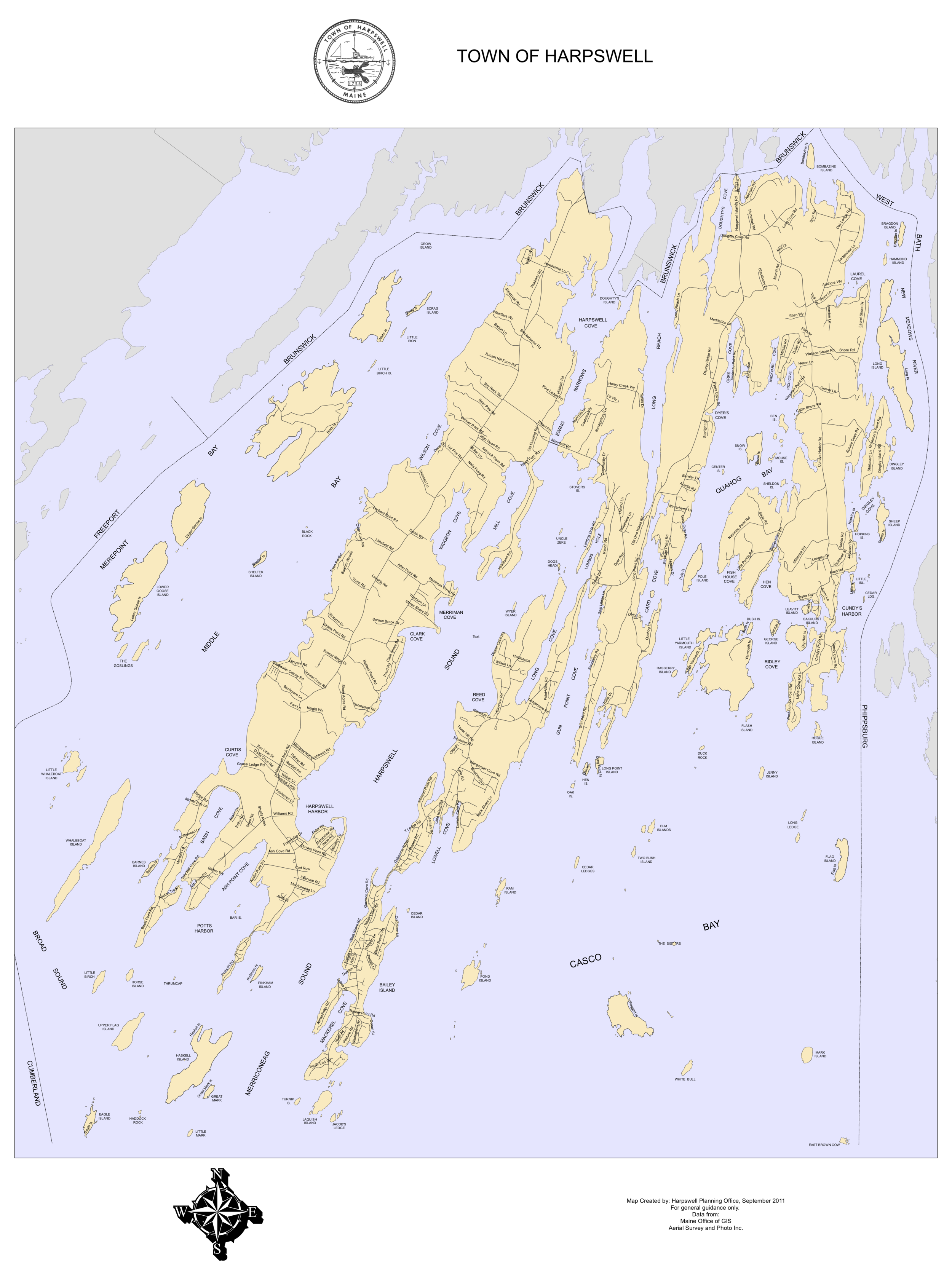
I’m not sure if anyone has ever visited ALL of Harpswell. It would be quite the undertaking as it includes over 200 islands. I kept to some easier-to-access areas: Potts Point, Sebascodegan Island (aka Great Island), Orr's Island, and Bailey Island.
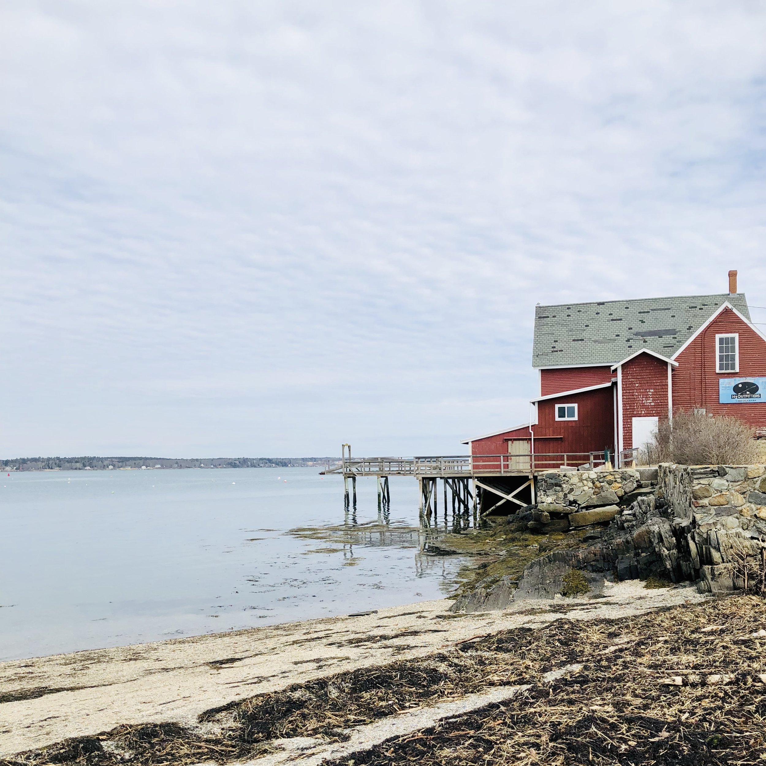
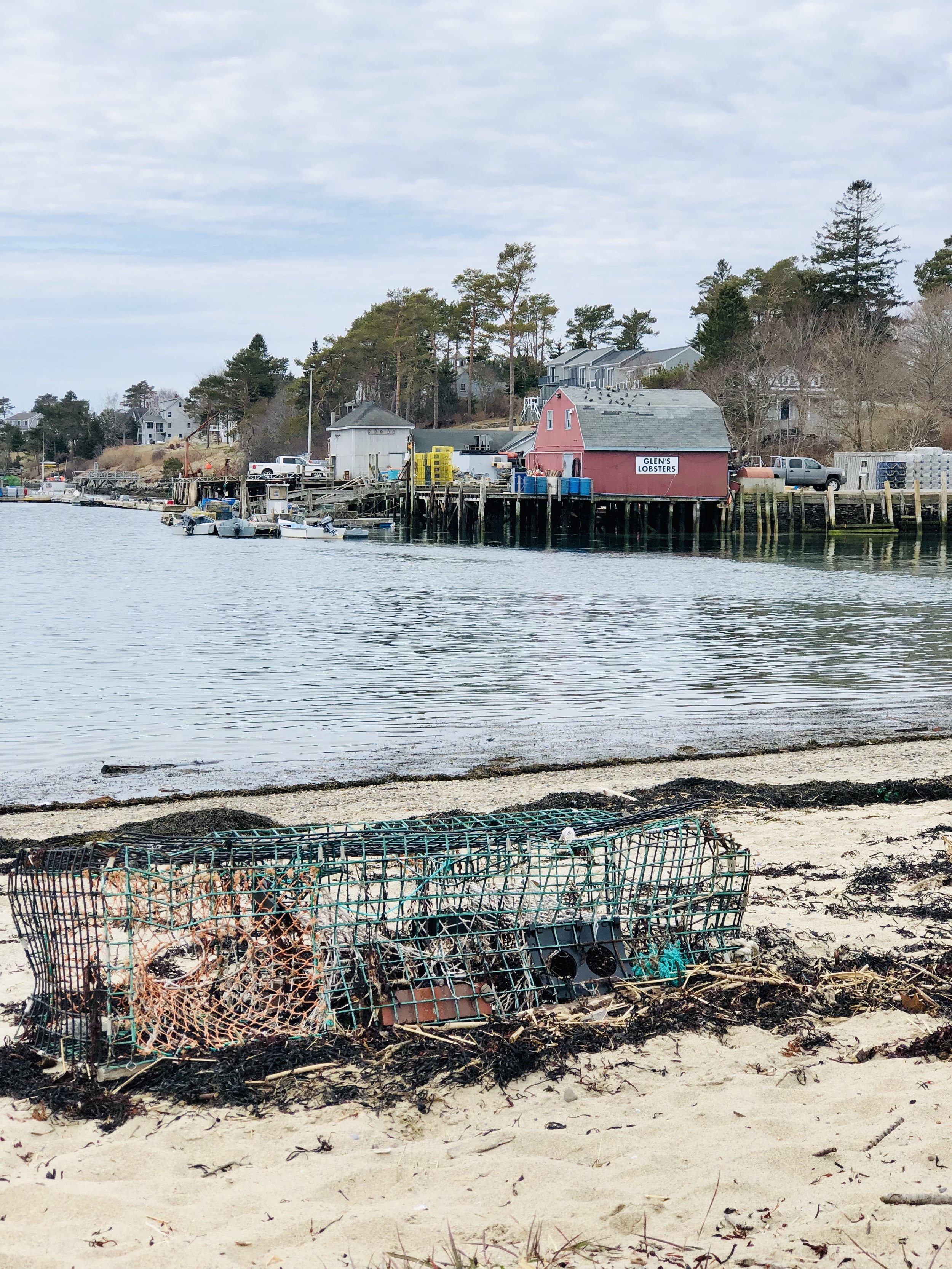
Harpswell was incorporated in 1758. Today, it has about 4,000 residents. As you might guess, the fishing industry is an important one. According to a 2017 report from the Maine Coast Fishermen’s Association, there were 462 commercial licenses in Harpswell. Of those, 75 were municipal shellfish, 270 were state lobster, 5 were federal scallop, and 52 were federal groundfish. Everywhere I stopped there was much fishing-related activity.
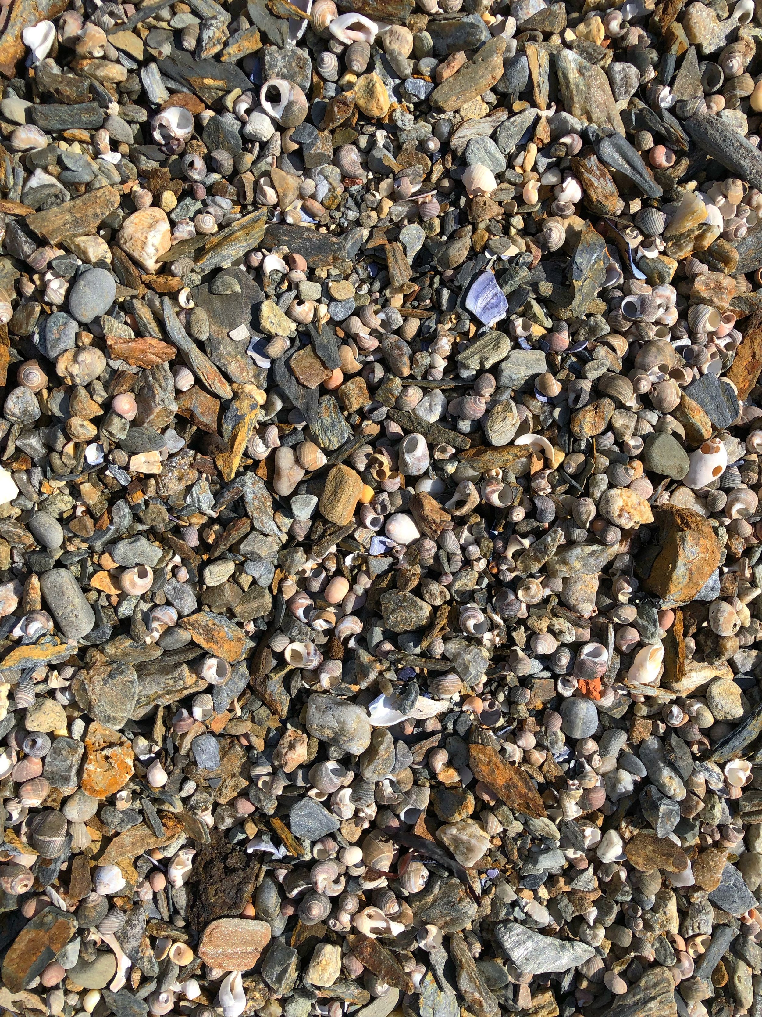
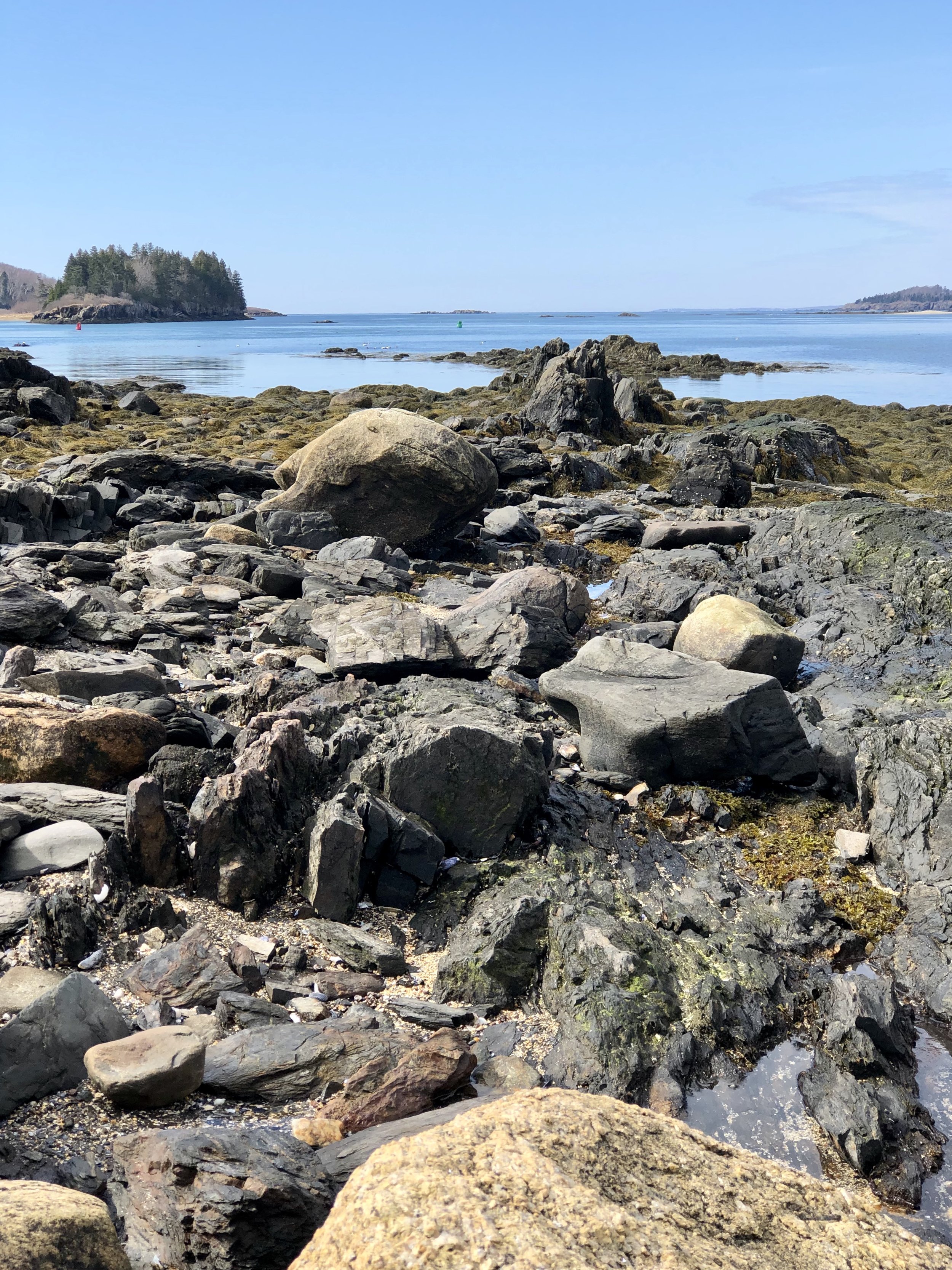
My visit began with blue skies and ended with gray ones, but the scenery remained beautiful either way.

The Cribstone Bridge crossing over to Bailey’s Island
I’m on a mission to visit every town in Maine. Check here to see if I’ve featured yours yet: All The Visits. To learn more about this adventure, see the about page.

